Land Surveying
Accuracy AND Precision
LAND SURVEYING BIRMINGHAM
Gonzalez-Strength & Associates has the information and technology to perform all of your surveying services at the foremost level of professional excellence. There are 8 Professional Land Surveyors and 13 survey crews ready to tackle the largest construction project or the smallest boundary survey. We're ready to serve you with competitive pricing, and and a survey done right, the first time.
Surveying Beyond Alabama
As Professional Land Surveyors, we work with developers, contractors, and homeowners all across the State of Alabama. We're also License Professional Surveyors in Mississippi, Tennessee, Kentucky, Louisiana, and Georgia. We've surveyed thousands of projects all across the Southeast, and are ready to serve you wherever you need us.
LIDAR SCANNING
Also known as laser scanning or terrestrial scanning, LIDAR is quickly becoming mainstream. The field data can be collected exponentially quicker than traditional surveying methods and is extremely accurate. It also provides a great level of safety for many applications. Our ground based LIDAR scanning system is cutting edge and may just be the right tool for your project. Call us today and find out more about our scanning services.
DRONE SURVEYING
Depending on your project's scope of work a drone survey may be the right choice. With several licensed drone operators and survey grade drones we can tackle some of the biggest jobs more quickly and efficiently. Not only can drones perform surveys quicker, but they can be much safer than traditional surveying. Drones have changed the Geospatial Industry and GSA has been on the cutting edge along the way.
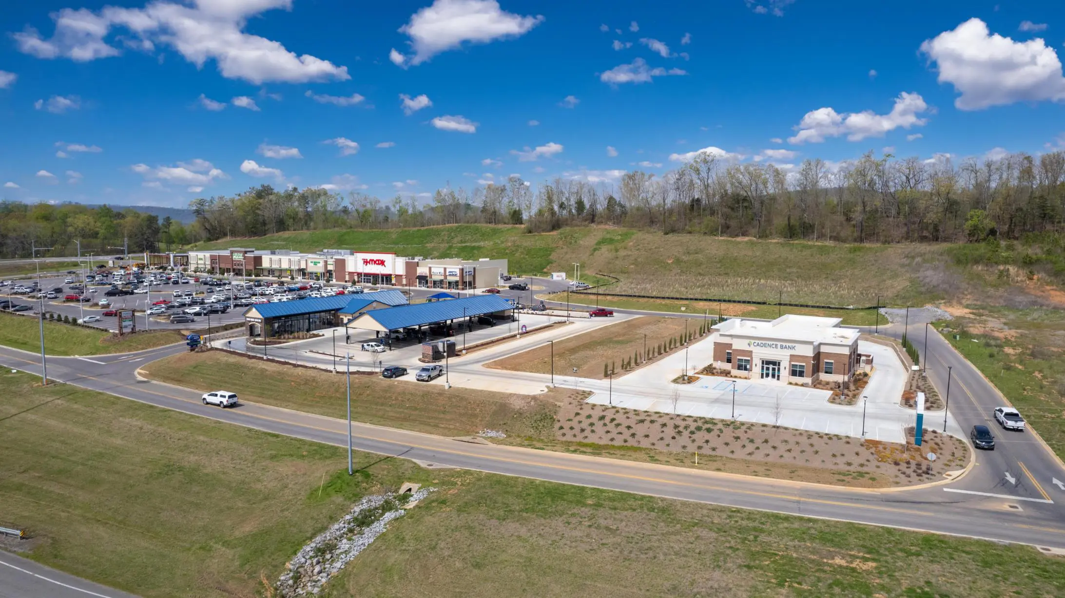
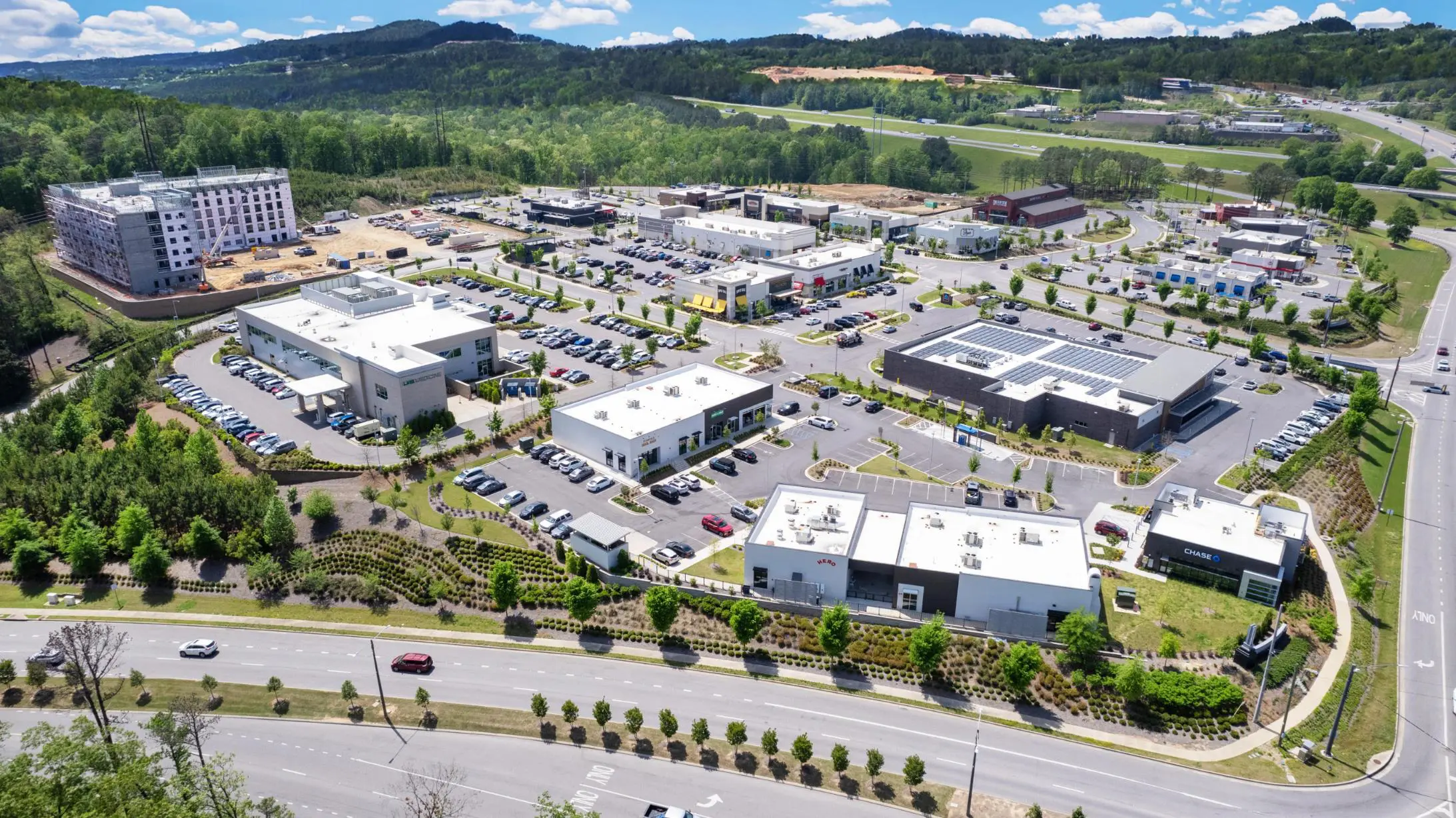
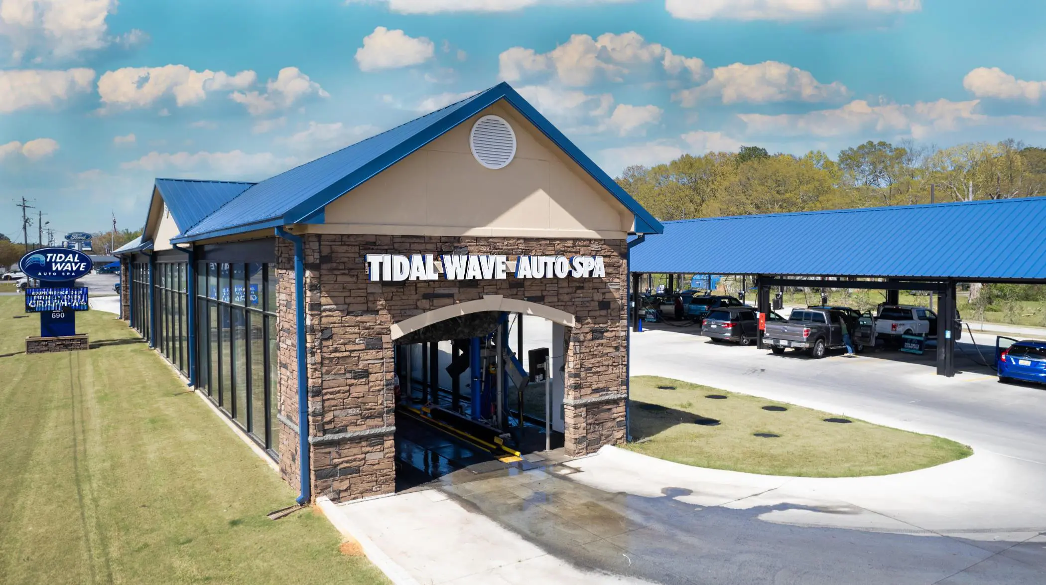
OUR FEATURED PROJECTS

Scottsborough Shopping Center - Scottsborough, AL

Stadium Trace Village - Hoover, AL

Tidal Wave - Hartselle, AL
BRINGING YOU OVER 60 YEARS OF SURVEYING EXPERIENCE
The Right Tools and The Right Experience
WHAT ARE THE MOST COMMON TYPES OF LAND SURVEYING REQUESTED?
Land surveys are an essential part of any land development or property ownership process. They provide accurate measurements and information about the land, which can be used for various purposes such as construction, property boundaries, or legal disputes. There are various types of land surveys available, but three of the most common types requested are boundary surveys, topographic surveys, and ALTA/NSPS surveys.
In conclusion, land surveying including boundary surveys, topographic surveys, and ALTA/NSPS surveys are three of the most common types of surveys requested. Each survey serves a specific purpose and provides valuable information for property owners, developers, and real estate professionals. Whether you need to establish property boundaries, assess the terrain, or ensure a smooth real estate transaction, consulting a professional land surveyor and obtaining the appropriate survey is crucial for accurate and reliable results.
Why Work With GSA
Now that we have explored the significance of boundary surveys, topographic surveys, and ALTA surveys, let's focus on why Gonzalez-Strength & Associates stands out as the leading choice for professional land surveying services in Birmingham, Alabama:
Experience and Expertise:
Gonzalez-Strength & Associates boasts years of experience in providing top-quality land surveying services. Their team of licensed and certified surveyors possesses an in-depth understanding of the local Birmingham area, ensuring accurate and reliable survey results.
State-of-the-Art Technology:
The company leverages advanced surveying equipment and cutting-edge technology to deliver precise and comprehensive survey data. Using modern Global Positioning System (GPS) and Geographic Information System (GIS) tools, they ensure their surveys meet the highest industry standards.
Local Knowledge:
Being based in Birmingham, Alabama, Gonzalez-Strength & Associates has an intimate knowledge of the region's unique land characteristics and regulations. This local expertise allows them to navigate potential challenges efficiently and provide tailored solutions to clients.
Timely and Cost-Effective Services:
The team at Gonzalez-Strength & Associates is committed to delivering surveys promptly without compromising accuracy. They understand the value of time in real estate and development projects and strive to provide cost-effective solutions to meet their clients' needs.
BTW... WE ALSO PROVIDE INTERIOR LIDAR SCANNING FOR ARCHITECTS
Gonzalez Strength Associates is excited to offer our clients state of the art technology with Interior Lidar Scanning (laser measuring) for your architectural needs. The time-honored methods of manual data gathering using tape measures, distometers, drawings and photographs are fast being superseded with this innovative technology. Your data can now be delivered in a matter of days instead of weeks which makes this a very cost effective tool. Our Lidar scans can provide clients a 3-D view/model of building interiors with astonishing detail and accuracy.
This specialized surveying tool uses an advanced high definition laser scanner to collect millions of data points. GSA’s skilled technicians then use the data points to develop a 3D computer model which can be exported to traditional CAD software for analysis and rendering providing you with precise calculations and measurements. Lidar scanning is optimal for a variety of projects by assisting in spatial planning, scale, and aesthetic development such as a furniture lay-out template and lighting designs with a relative accuracy to within ⅛ - 1/16 of an inch. Lidar scans are a great asset for client presentations as a spatial model for visualization of room size and shape for interior decoration and building renovations.
